mapcarta.com

With thanks to Heather Eaton
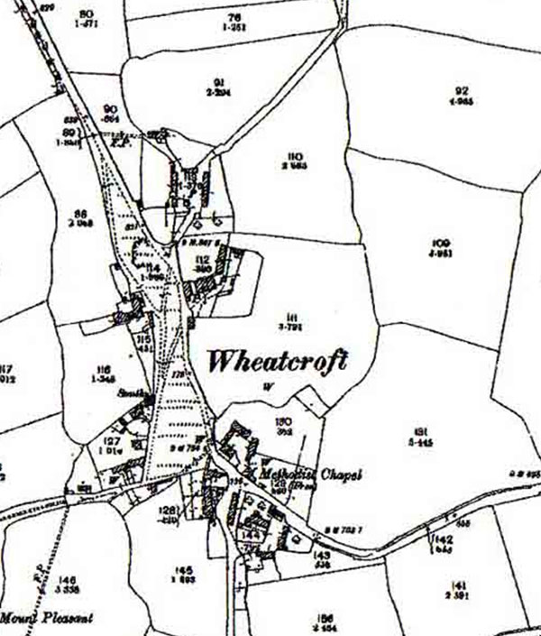
With thanks to Ken Hawley for the guided tour.
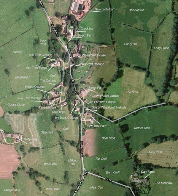
Field names are from a map dated 1849
Property
identification Ken Hawley

Burdett's Map of Derbyshire 1791published by the Derbyshire Archaelogical Society.
This Crich section is reproduced with kind permission from Dudley Fowkes.

Map reproduced from 1949 Ordnance Survey map; Sheet 43/35 with the kind permission of Ordnance Survey
The red line shows post-1897.
The blue line shows the area annexed by Dethick, Lea and Holloway in 1897.
Plaistow map of 1899: VIEW